Flight Plan Online® is an information management system that helps us handle the entire aerial application process – from planning, job scheduling, and spraying, to billing and inventory management. It keeps us ahead of the game, especially during spray season, when demand is at its peak. Our pilots spend more time in the air and less time doing paperwork thanks to flight plan.
Used To Manage Our Aerial Application Jobs From Start To Finish
Can Be Used To Communicate With Customers Via Email
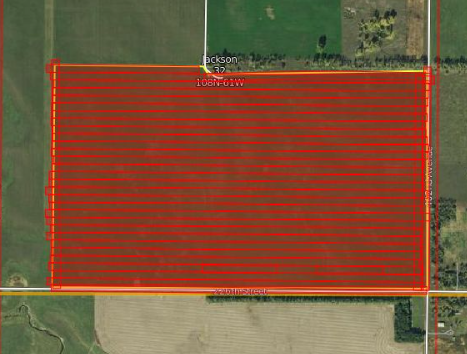
AgPilotX is a wireless Apple based guidance system. It utilizes a light bar, hub, and Ipad to visual maps as our pilots are spraying. It uses GNSS guidance which is a combination of GPS and GLONASS. The biggest advantages of the AgPilotX are live tracking and the wireless connectivity of the units. This system gives us the ability to create accurate as applied maps as well as accurate application. It also works with Reabe Smart Gate to ensure that flow control is working correctly while ensuring the proper pounds/gallons are being accurately applied.
Guidance System Designed Especially for Aerial Applicators